2025 FFIEC Census Report – Summary Census Overview Information
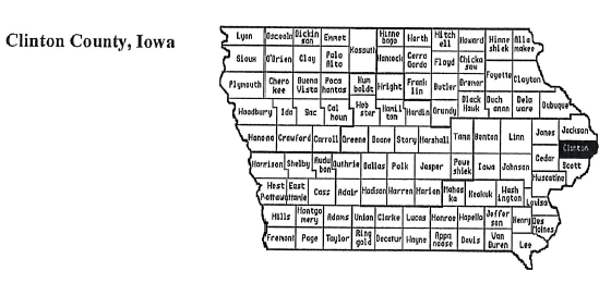
State: IOWA
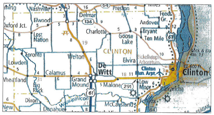
County: 045 – CLINTON COUNTY
All Tracts: 12
| State Abbr | County Name | Tract Code | Tract Income Level | Tract Median Family Income % | Distressed or Underserved Tract | 2025 FFIEC Est. MSA/MD/non- MSA/MD Median Family Income | 2020 Tract Median Family Income | Tract Population | Minority Population | Tract Minority % | Owner Occupied Units | 1- to 4- Family Units |
| IA | CLINTON COUNTY | 0001.00 | 0 – Unknown | 0.00 | No | $92,000 | $0 | 2641 | 587 | 22.23 | 429 | 1306 |
| IA | CLINTON COUNTY | 0002.00 | 2 – Moderate | 63.90 | No | $92,000 | $45,859 | 1621 | 282 | 17.40 | 696 | 951 |
| IA | CLINTON COUNTY | 0003.00 | 2 – Moderate | 63.69 | No | $92,000 | $45,707 | 4725 | 1001 | 21.19 | 1166 | 2234 |
| IA | CLINTON COUNTY | 0004.00 | 4 – Upper | 122.41 | No | $92,000 | $87,852 | 3857 | 482 | 12.50 | 1298 | 1505 |
| IA | CLINTON COUNTY | 0005.00 | 3 – Middle | 95.13 | No | $92,000 | $68,272 | 4376 | 592 | 13.53 | 1462 | 1682 |
| IA | CLINTON COUNTY | 0006.00 | 3 – Middle | 107.82 | No | $92,000 | $77,375 | 3597 | 456 | 12.68 | 1232 | 1656 |
| IA | CLINTON COUNTY | 0007.00 | 4 – Upper | 132.14 | No | $92,000 | $94,833 | 3644 | 399 | 10.95 | 1138 | 1364 |
| IA | CLINTON COUNTY | 0008.00 | 3 – Middle | 98.37 | No | $92,000 | $70,594 | 5322 | 392 | 7.37 | 1923 | 2176 |
| IA | CLINTON COUNTY | 0009.00 | 3 – Middle | 114.90 | No | $92,000 | $82,461 | 6633 | 511 | 7.70 | 1994 | 2375 |
| IA | CLINTON COUNTY | 0010.00 | 3 – Middle | 104.22 | No | $92,000 | $74,792 | 3840 | 215 | 5.60 | 1206 | 1653 |
| IA | CLINTON COUNTY | 0011.00 | 3 – Middle | 102.11 | No | $92,000 | $73,281 | 2293 | 133 | 5.80 | 723 | 962 |
| IA | CLINTON COUNTY | 0012.00 | 3 – Middle | 103.01 | No | $92,000 | $73,929 | 3911 | 148 | 4.70 | 1174 | 1640 |

