2025 FFIEC Census Report – Summary Census Overview Information
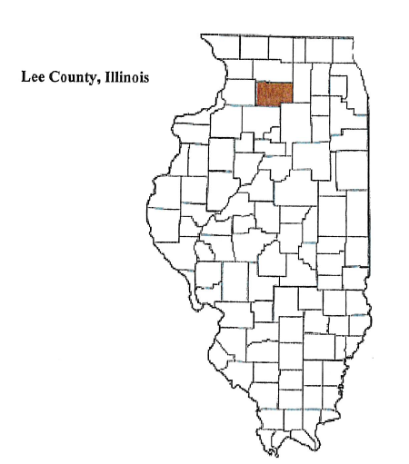
State: ILLINOIS
County: 103 – LEE COUNTY
All Tracts: 9
| State Abbr | County Name | Tract Code | Tract Income Level | Tract Median Family Income % | Distressed or Underserved Tract | 2025 FFIEC Est. MSA/MD/non- MSA/MD Median Family Income | 2020 Tract Median Family Income | Tract Population | Minority Population | Tract Minority % | Owner Occupied Units | 1- to 4- Family Units |
| IL | LEE COUNTY | 0001.00 | 4 – Upper | 125.30 | No | $86,600 | $85,000 | 2762 | 287 | 10.39 | 772 | 1141 |
| IL | LEE COUNTY | 0002.00 | 3 – Middle | 116.16 | No | $86,600 | $78,799 | 3227 | 258 | 8.00 | 950 | 1288 |
| IL | LEE COUNTY | 0003.00 | 3 – Middle | 106.22 | No | $86,600 | $72,056 | 4072 | 591 | 14.51 | 1122 | 1741 |
| IL | LEE COUNTY | 0004.00 | 4 – Upper | 140.59 | No | $86,600 | $95,375 | 7503 | 2465 | 32.85 | 1457 | 1943 |
| IL | LEE COUNTY | 0005.00 | 3 – Middle | 114.84 | No | $86,600 | $77,907 | 4709 | 645 | 13.70 | 1460 | 1953 |
| IL | LEE COUNTY | 0006.00 | 3 – Middle | 85.07 | No | $86,600 | $57,708 | 3425 | 637 | 18.60 | 996 | 1763 |
| IL | LEE COUNTY | 0007.00 | 4 – Upper | 122.93 | No | $86,600 | $83,393 | 1809 | 199 | 11.00 | 603 | 883 |
| IL | LEE COUNTY | 0008.00 | 3 – Middle | 110.21 | No | $86,600 | $74,766 | 3399 | 286 | 8.41 | 1085 | 1535 |
| IL | LEE COUNTY | 0009.00 | 3 – Middle | 100.76 | No | $86,600 | $68,355 | 3239 | 342 | 10.56 | 1040 | 1459 |

