2025 FFIEC Census Report – Summary Census Overview Information
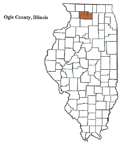
State: ILLINOIS
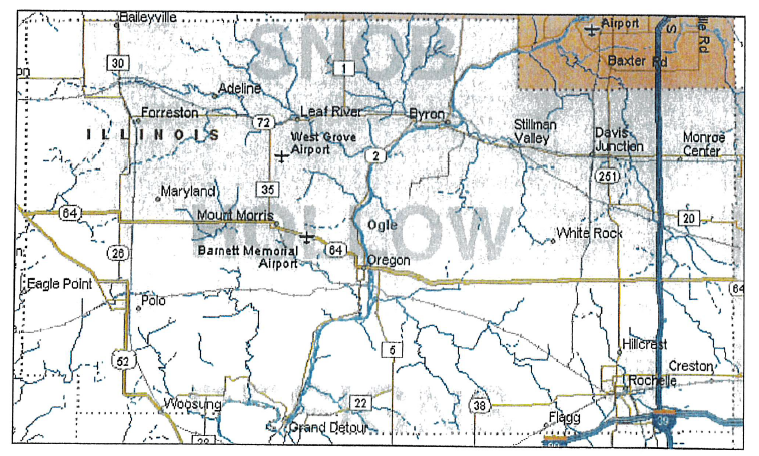
County: 141 – OGLE COUNTY
All Tracts:13
| State Abbr | County Name | Tract Code | Tract Income Level | Tract Median Family Income % | Distressed or Underserved Tract | 2025 FFIEC Est. MSA/MD/non- MSA/MD Median Family Income | 2020 Tract Median Family Income | Tract Population | Minority Population | Tract Minority % | Owner Occupied Units | 1- to 4- Family Units |
| IL | OGLE COUNTY | 9607.00 | 4 – Upper | 161.18 | No | $86,600 | $109,338 | 4328 | 368 | 8.50 | 1440 | 1735 |
| IL | OGLE COUNTY | 9608.00 | 3 – Middle | 103.03 | Yes | $86,600 | $69,893 | 3412 | 207 | 6.07 | 1140 | 1461 |
| IL | OGLE COUNTY | 9609.00 | 3 – Middle | 98.92 | Yes | $86,600 | $67,104 | 4604 | 517 | 11.23 | 1493 | 2006 |
| IL | OGLE COUNTY | 9610.01 | 3 – Middle | 94.87 | Yes | $86,600 | $64,359 | 3190 | 438 | 13.73 | 1053 | 1298 |
| IL | OGLE COUNTY | 9610.02 | 3 – Middle | 117.04 | Yes | $86,600 | $79,397 | 3664 | 541 | 14.77 | 1001 | 1349 |
| IL | OGLE COUNTY | 9611.00 | 3 – Middle | 109.11 | Yes | $86,600 | $74,020 | 3791 | 1143 | 30.15 | 649 | 1258 |
| IL | OGLE COUNTY | 9612.00 | 3 – Middle | 112.04 | Yes | $86,600 | $76,005 | 7183 | 2196 | 30.57 | 1998 | 2502 |
| IL | OGLE COUNTY | 9613.01 | 4 – Upper | 159.99 | No | $86,600 | $108,531 | 2483 | 170 | 6.85 | 795 | 1150 |
| IL | OGLE COUNTY | 9613.02 | 4 – Upper | 146.03 | No | $86,600 | $99,063 | 2588 | 225 | 8.69 | 980 | 1127 |
| IL | OGLE COUNTY | 9614.00 | 3 – Middle | 106.22 | Yes | $86,600 | $72,057 | 3975 | 420 | 10.57 | 1158 | 1742 |
| IL | OGLE COUNTY | 9615.00 | 3 – Middle | 103.28 | Yes | $86,600 | $70,066 | 4310 | 333 | 7.73 | 1353 | 2035 |
| IL | OGLE COUNTY | 9616.00 | 3 – Middle | 82.29 | Yes | $86,600 | $55,823 | 3295 | 1530 | 46.43 | 695 | 1224 |
| IL | OGLE COUNTY | 9617.00 | 4 – Upper | 126.87 | No | $86,600 | $86,063 | 4965 | 580 | 11.68 | 1315 | 1967 |

